Moor Wood
Introduction
The photograph on this page of Moor Wood by Andrew Smith as part of the Geograph project.
The Geograph project started in 2005 with the aim of publishing, organising and preserving representative images for every square kilometre of Great Britain, Ireland and the Isle of Man.

There are currently over 7.5m images from over 14,400 individuals and you can help contribute to the project by visiting https://www.geograph.org.uk
Moor Wood
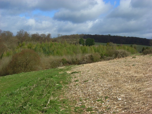
Image: © Andrew Smith Taken: 12 Apr 2008
An area of conifers at the northern end of the wood. Rooftops at Pebbly Hill can just be seen through the trees. Widdenton Park Wood is in the distance.
Images are licensed for reuse under creativecommons.org/licenses/by-sa/2.0
Image Location
Latitude
51.609216
Longitude
-0.821572