Feeding Troughs
Introduction
The photograph on this page of Feeding Troughs by Anne Burgess as part of the Geograph project.
The Geograph project started in 2005 with the aim of publishing, organising and preserving representative images for every square kilometre of Great Britain, Ireland and the Isle of Man.

There are currently over 7.5m images from over 14,400 individuals and you can help contribute to the project by visiting https://www.geograph.org.uk
Feeding Troughs
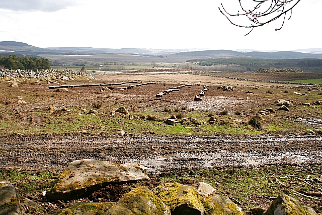
Image: © Anne Burgess Taken: 18 Apr 2008
Deserted by the sheep, which are being fed from hoppers in an adjoining field, these rows of troughs stand amid mud, a legacy of recent poor weather.
Images are licensed for reuse under creativecommons.org/licenses/by-sa/2.0
Image Location


Leaflet Map data © OpenStreetMap
Latitude
57.491612
Longitude
-2.79871