Overgrown path from Brickyard Road to The Firs house
Introduction
The photograph on this page of Overgrown path from Brickyard Road to The Firs house by Peter Facey as part of the Geograph project.
The Geograph project started in 2005 with the aim of publishing, organising and preserving representative images for every square kilometre of Great Britain, Ireland and the Isle of Man.

There are currently over 7.5m images from over 14,400 individuals and you can help contribute to the project by visiting https://www.geograph.org.uk
Overgrown path from Brickyard Road to The Firs house
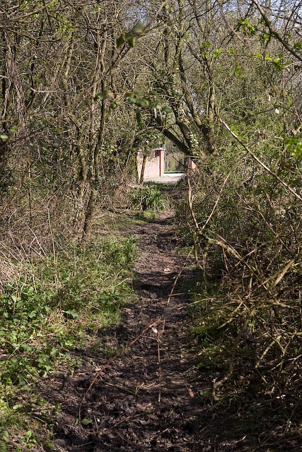
Image: © Peter Facey Taken: 17 Apr 2008
An instance where the 1:25,000 OS map is less informative than the 1:50,000 one. The former map makes it look as if this is a substantial lane when, in fact, it is barely passable on foot.
Images are licensed for reuse under creativecommons.org/licenses/by-sa/2.0
Image Location
Latitude
50.934471
Longitude
-1.183384