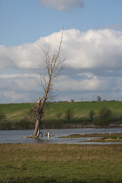
Micklemere, Ixworth
Introduction
The photograph on this page of Micklemere, Ixworth by Bob Jones as part of the Geograph project.
The Geograph project started in 2005 with the aim of publishing, organising and preserving representative images for every square kilometre of Great Britain, Ireland and the Isle of Man.
There are currently over 7.5m images from over 14,400 individuals and you can help contribute to the project by visiting https://www.geograph.org.uk

Image: © Bob Jones Taken: 17 Apr 2008
Though shown as 'Mickle Mere' on the OS map, the Suffolk Wildlife Trust, which manages this nature reserve, calls it 'Micklemere'. It is a fairly recent development, brought about when the Ixworth by-pass was constructed in the early 1990s. Ditches crossed by the new road were not piped but simply filled in. As a result the site began to flood regularly. What was once grazing marsh with little wildlife interest has become the splendid wetland habitat that attracts birds all year round. This view is from the hide, just off the road leading to Pakenham Water Mill.

