NI Rivers Agency camera monitoring river levels near the Tipperary Wood sluice gate
Introduction
The photograph on this page of NI Rivers Agency camera monitoring river levels near the Tipperary Wood sluice gate by Eric Jones as part of the Geograph project.
The Geograph project started in 2005 with the aim of publishing, organising and preserving representative images for every square kilometre of Great Britain, Ireland and the Isle of Man.

There are currently over 7.5m images from over 14,400 individuals and you can help contribute to the project by visiting https://www.geograph.org.uk
NI Rivers Agency camera monitoring river levels near the Tipperary Wood sluice gate
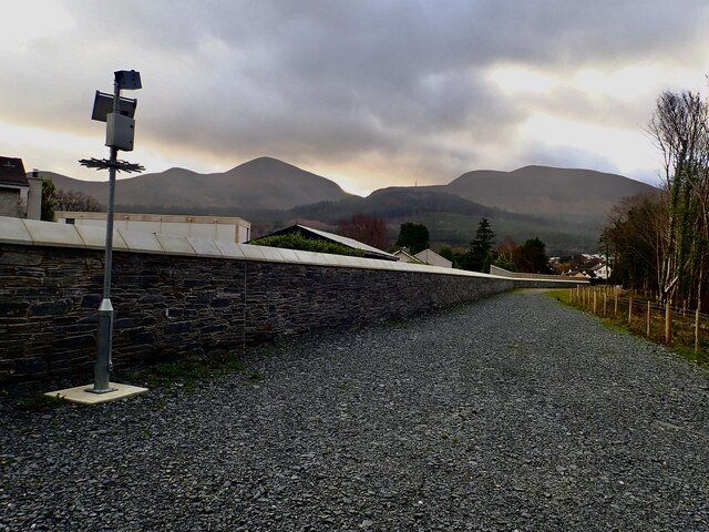
Image: © Eric Jones Taken: 29 Dec 2023
The camera stands by the Riverside Lane Flood Wall. The fenced sheugh runs to the right of the access road. The Agency is part of the Department for Infrastructure.
Images are licensed for reuse under creativecommons.org/licenses/by-sa/2.0
Image Location
Latitude
54.214473
Longitude
-5.899755