Church of the Good Shepherd, Mannings Heath
Introduction
The photograph on this page of Church of the Good Shepherd, Mannings Heath by Simon Carey as part of the Geograph project.
The Geograph project started in 2005 with the aim of publishing, organising and preserving representative images for every square kilometre of Great Britain, Ireland and the Isle of Man.

There are currently over 7.5m images from over 14,400 individuals and you can help contribute to the project by visiting https://www.geograph.org.uk
Church of the Good Shepherd, Mannings Heath
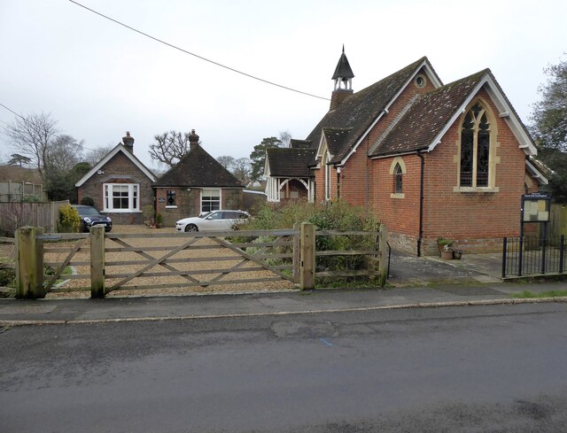
Image: © Simon Carey Taken: 26 Dec 2023
Built as chapel in 1881 to serve the newly expanding hamlet of Mannings Heath which is located within the parish of Nuthurst. Still in use today, though more as a community centre than a place of worship.
Images are licensed for reuse under creativecommons.org/licenses/by-sa/2.0
Image Location
Latitude
51.044591
Longitude
-0.283598