Winterpit Lane, Mannings Heath
Introduction
The photograph on this page of Winterpit Lane, Mannings Heath by Simon Carey as part of the Geograph project.
The Geograph project started in 2005 with the aim of publishing, organising and preserving representative images for every square kilometre of Great Britain, Ireland and the Isle of Man.

There are currently over 7.5m images from over 14,400 individuals and you can help contribute to the project by visiting https://www.geograph.org.uk
Winterpit Lane, Mannings Heath
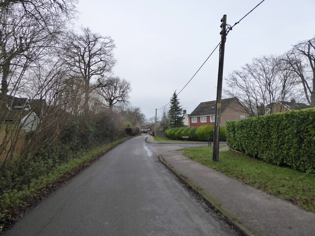
Image: © Simon Carey Taken: 26 Dec 2023
The lane links the centre of Mannings Heath to Church Lane, north of Lower Building.
Images are licensed for reuse under creativecommons.org/licenses/by-sa/2.0
Image Location


Leaflet Map data © OpenStreetMap
Latitude
51.044917
Longitude
-0.281303