Modern housing development in Andoversford
Introduction
The photograph on this page of Modern housing development in Andoversford by Philip Halling as part of the Geograph project.
The Geograph project started in 2005 with the aim of publishing, organising and preserving representative images for every square kilometre of Great Britain, Ireland and the Isle of Man.

There are currently over 7.5m images from over 14,400 individuals and you can help contribute to the project by visiting https://www.geograph.org.uk
Modern housing development in Andoversford
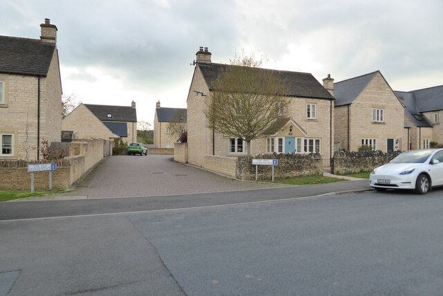
Image: © Philip Halling Taken: 29 Apr 2023
This housing development is on the site of the former Andoversford livestock market which closed some years ago. Fortunately I photographed the market site in 2006 Image
Images are licensed for reuse under creativecommons.org/licenses/by-sa/2.0
Image Location
Latitude
51.876404
Longitude
-1.967415