Public footpath in Alsager
Introduction
The photograph on this page of Public footpath in Alsager by Jonathan Hutchins as part of the Geograph project.
The Geograph project started in 2005 with the aim of publishing, organising and preserving representative images for every square kilometre of Great Britain, Ireland and the Isle of Man.

There are currently over 7.5m images from over 14,400 individuals and you can help contribute to the project by visiting https://www.geograph.org.uk
Public footpath in Alsager
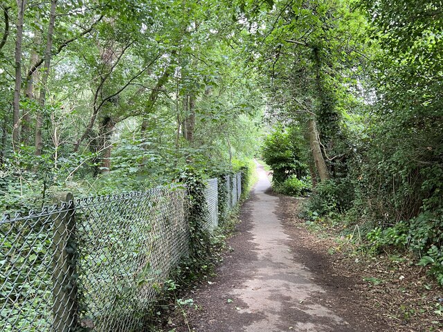
Image: © Jonathan Hutchins Taken: 8 Aug 2023
This footpath designated Alsager 4 runs in a straight line between Hassall Road and the junction of Sandbach Road North and Lodge Road. To the left is Alsager School and its grounds: to the right is suburban housing.
Images are licensed for reuse under creativecommons.org/licenses/by-sa/2.0
Image Location
Latitude
53.100331
Longitude
-2.315089