Byway to Clifford Chambers
Introduction
The photograph on this page of Byway to Clifford Chambers by Jonathan Billinger as part of the Geograph project.
The Geograph project started in 2005 with the aim of publishing, organising and preserving representative images for every square kilometre of Great Britain, Ireland and the Isle of Man.

There are currently over 7.5m images from over 14,400 individuals and you can help contribute to the project by visiting https://www.geograph.org.uk
Byway to Clifford Chambers
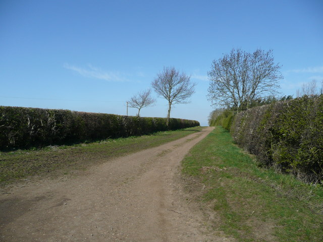
Image: © Jonathan Billinger Taken: 15 Apr 2008
The track peters out to a footpath on the lower slope of Atherstone Hill.
Images are licensed for reuse under creativecommons.org/licenses/by-sa/2.0
Image Location


Leaflet Map data © OpenStreetMap
Latitude
52.152895
Longitude
-1.718013