Bowden Well
Introduction
The photograph on this page of Bowden Well by James Denham as part of the Geograph project.
The Geograph project started in 2005 with the aim of publishing, organising and preserving representative images for every square kilometre of Great Britain, Ireland and the Isle of Man.

There are currently over 7.5m images from over 14,400 individuals and you can help contribute to the project by visiting https://www.geograph.org.uk
Bowden Well
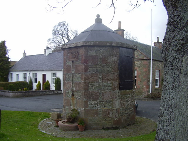
Image: © James Denham Taken: 16 Apr 2008
This well was erected in 1801 and was the main source of water for humans and farm animals on their way to market.
Images are licensed for reuse under creativecommons.org/licenses/by-sa/2.0
Image Location
Latitude
55.567398
Longitude
-2.705447