Wakefield: view uphill into the city centre, from the railway
Introduction
The photograph on this page of Wakefield: view uphill into the city centre, from the railway by Christopher Hilton as part of the Geograph project.
The Geograph project started in 2005 with the aim of publishing, organising and preserving representative images for every square kilometre of Great Britain, Ireland and the Isle of Man.

There are currently over 7.5m images from over 14,400 individuals and you can help contribute to the project by visiting https://www.geograph.org.uk
Wakefield: view uphill into the city centre, from the railway
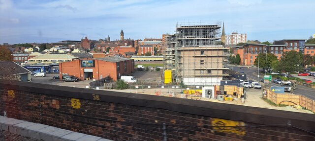
Image: © Christopher Hilton Taken: 18 Oct 2023
To the left of the scaffolded office block, the tower of the town hall; to its right, the spire of the cathedral.
Images are licensed for reuse under creativecommons.org/licenses/by-sa/2.0
Image Location
Latitude
53.678844
Longitude
-1.500831