Junction in Kingswood
Introduction
The photograph on this page of Junction in Kingswood by Penny Mayes as part of the Geograph project.
The Geograph project started in 2005 with the aim of publishing, organising and preserving representative images for every square kilometre of Great Britain, Ireland and the Isle of Man.

There are currently over 7.5m images from over 14,400 individuals and you can help contribute to the project by visiting https://www.geograph.org.uk
Junction in Kingswood
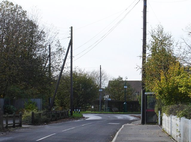
Image: © Penny Mayes Taken: 7 Nov 2005
Lenham Road (photographer's position) is joined from the right by Gravelly Bottom Road and changes its name to Chartway Street beyond the junction. The roof in the background is Image
Images are licensed for reuse under creativecommons.org/licenses/by-sa/2.0
Image Location
Latitude
51.224002
Longitude
0.635098