Blockhouse at Glebe Farm
Introduction
The photograph on this page of Blockhouse at Glebe Farm by Robert Graham as part of the Geograph project.
The Geograph project started in 2005 with the aim of publishing, organising and preserving representative images for every square kilometre of Great Britain, Ireland and the Isle of Man.

There are currently over 7.5m images from over 14,400 individuals and you can help contribute to the project by visiting https://www.geograph.org.uk
Blockhouse at Glebe Farm
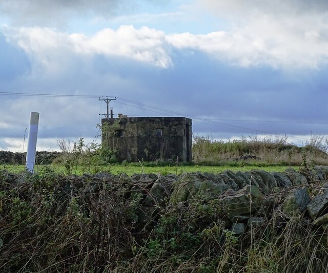
Image: © Robert Graham Taken: 6 Nov 2023
WWII pillbox at Glebe Farm, Medomsley Edge. It was presumably built in 1940 to cover the nearby Medomsley Crossroads on Corbridge Road. This is one of the common hexagonal shaped blockhouse.
Images are licensed for reuse under creativecommons.org/licenses/by-sa/2.0
Image Location
Latitude
54.881629
Longitude
-1.832104