A361 approaching Nunney Catch
Introduction
The photograph on this page of A361 approaching Nunney Catch by Derek Harper as part of the Geograph project.
The Geograph project started in 2005 with the aim of publishing, organising and preserving representative images for every square kilometre of Great Britain, Ireland and the Isle of Man.

There are currently over 7.5m images from over 14,400 individuals and you can help contribute to the project by visiting https://www.geograph.org.uk
A361 approaching Nunney Catch
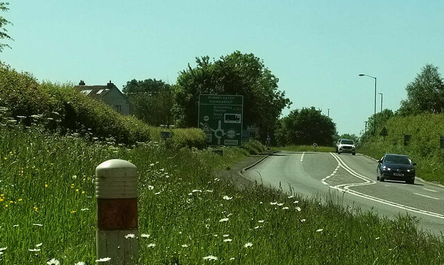
Image: © Derek Harper Taken: 27 May 2022
Looking left from Image along Marston Road; the Nunney Catch roundabout can be glimpsed ahead. On the left is Braeside Farm.
Images are licensed for reuse under creativecommons.org/licenses/by-sa/2.0
Image Location
Latitude
51.200374
Longitude
-2.374366