The Knights' Way near Narberth Mountain
Introduction
The photograph on this page of The Knights' Way near Narberth Mountain by David Medcalf as part of the Geograph project.
The Geograph project started in 2005 with the aim of publishing, organising and preserving representative images for every square kilometre of Great Britain, Ireland and the Isle of Man.

There are currently over 7.5m images from over 14,400 individuals and you can help contribute to the project by visiting https://www.geograph.org.uk
The Knights' Way near Narberth Mountain
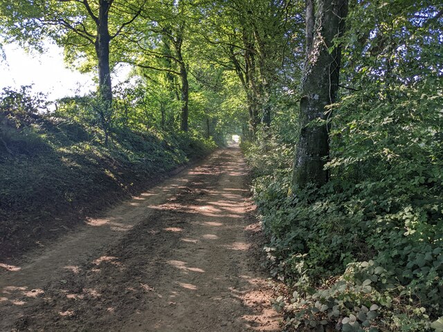
Image: © David Medcalf Taken: 10 Aug 2022
A pedant might notice that in Canaston Wood the track is Knights Way on the OS 1:25k map, but here it is printed as Knights' Way (with an apostrophe).
Images are licensed for reuse under creativecommons.org/licenses/by-sa/2.0
Image Location
Latitude
51.785734
Longitude
-4.752599