Birmingham Canal Navigations (old main line), Oldbury
Introduction
The photograph on this page of Birmingham Canal Navigations (old main line), Oldbury by Chris Allen as part of the Geograph project.
The Geograph project started in 2005 with the aim of publishing, organising and preserving representative images for every square kilometre of Great Britain, Ireland and the Isle of Man.

There are currently over 7.5m images from over 14,400 individuals and you can help contribute to the project by visiting https://www.geograph.org.uk
Birmingham Canal Navigations (old main line), Oldbury
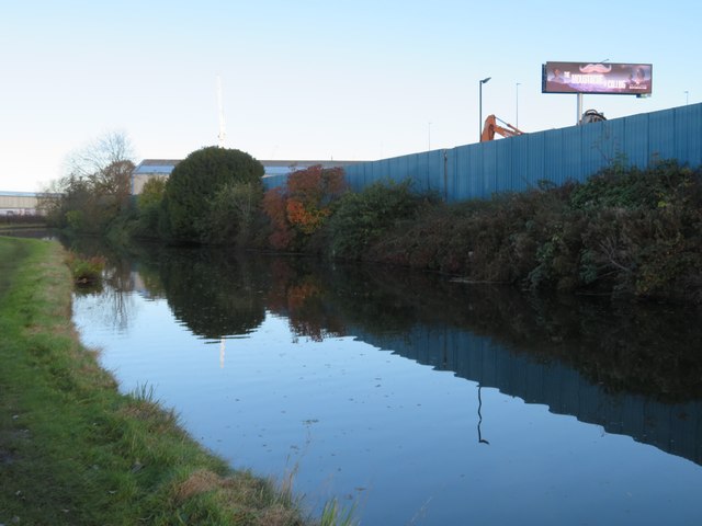
Image: © Chris Allen Taken: 11 Nov 2023
There is a scrapyard to the right and the big illuminated sign is for the benefit (?) of motorists on the M5's Oldbury Viaduct. Mid afternoon in November and it was beginning to get gloomy.
Images are licensed for reuse under creativecommons.org/licenses/by-sa/2.0
Image Location
Latitude
52.503579
Longitude
-2.00688