Anchor Bridge and the M5
Introduction
The photograph on this page of Anchor Bridge and the M5 by Chris Allen as part of the Geograph project.
The Geograph project started in 2005 with the aim of publishing, organising and preserving representative images for every square kilometre of Great Britain, Ireland and the Isle of Man.

There are currently over 7.5m images from over 14,400 individuals and you can help contribute to the project by visiting https://www.geograph.org.uk
Anchor Bridge and the M5
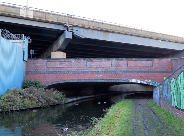
Image: © Chris Allen Taken: 11 Nov 2023
This 1994 version of the bridge crosses the Birmingham Canal Navigations (old main line) between Oldbury and West Bromwich. Beyond the bridge the canal is under the M5 for about 400 yards. I am pretty certain I had not walked this segment before.
Images are licensed for reuse under creativecommons.org/licenses/by-sa/2.0
Image Location
Latitude
52.50259
Longitude
-2.007911