Glossop
Introduction
The photograph on this page of Glossop by Peter McDermott as part of the Geograph project.
The Geograph project started in 2005 with the aim of publishing, organising and preserving representative images for every square kilometre of Great Britain, Ireland and the Isle of Man.

There are currently over 7.5m images from over 14,400 individuals and you can help contribute to the project by visiting https://www.geograph.org.uk
Glossop
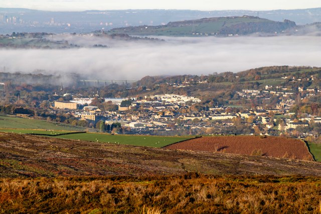
Image: © Peter McDermott Taken: 11 Nov 2023
Looking down on Glossop from the Snake Road. Dinting Viaduct is just visible on the edge of the cloud inversion.
Images are licensed for reuse under creativecommons.org/licenses/by-sa/2.0
Image Location
Latitude
53.442761
Longitude
-1.95028