End of the line, St Ives railway station
Introduction
The photograph on this page of End of the line, St Ives railway station by Richard Vince as part of the Geograph project.
The Geograph project started in 2005 with the aim of publishing, organising and preserving representative images for every square kilometre of Great Britain, Ireland and the Isle of Man.

There are currently over 7.5m images from over 14,400 individuals and you can help contribute to the project by visiting https://www.geograph.org.uk
End of the line, St Ives railway station
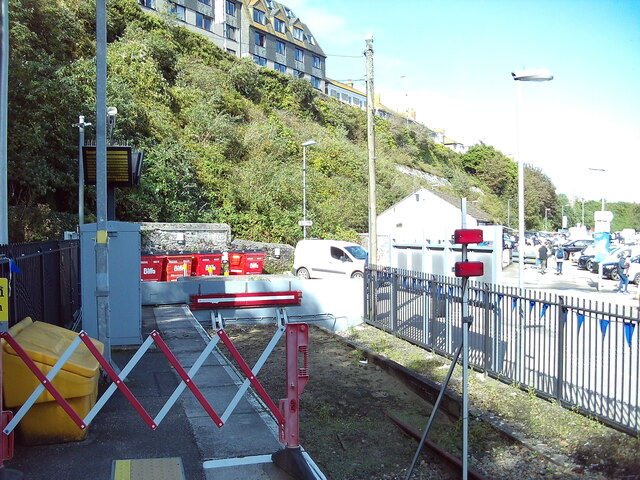
Image: © Richard Vince Taken: 3 Oct 2023
A sand drag and buffer stop are positioned beyond the furthest point normally reached by trains, to protect the footpath into the car park from the possibility of a train overrunning. The car park on the right is on the site of the former railway station here; the current station is on the edge of what would have been the goods yard, a bit further from the town centre.
Images are licensed for reuse under creativecommons.org/licenses/by-sa/2.0
Image Location
Latitude
50.209152
Longitude
-5.478159