Peak Forest Canal
Introduction
The photograph on this page of Peak Forest Canal by Bill Boaden as part of the Geograph project.
The Geograph project started in 2005 with the aim of publishing, organising and preserving representative images for every square kilometre of Great Britain, Ireland and the Isle of Man.

There are currently over 7.5m images from over 14,400 individuals and you can help contribute to the project by visiting https://www.geograph.org.uk
Peak Forest Canal
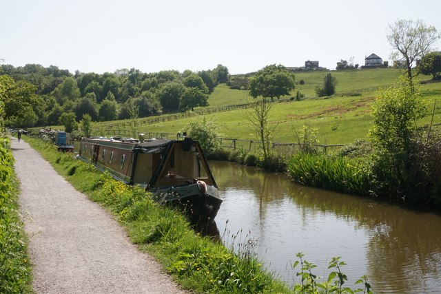
Image: © Bill Boaden Taken: 24 May 2023
The canal has been constructed part of the way up the western side of the Goyt valley. The houses seen at the top are on the appropriately named road The Ridge.
Images are licensed for reuse under creativecommons.org/licenses/by-sa/2.0
Image Location
Latitude
53.383704
Longitude
-2.054534