View west across Nepcote Green
Introduction
The photograph on this page of View west across Nepcote Green by Ian Hawfinch as part of the Geograph project.
The Geograph project started in 2005 with the aim of publishing, organising and preserving representative images for every square kilometre of Great Britain, Ireland and the Isle of Man.

There are currently over 7.5m images from over 14,400 individuals and you can help contribute to the project by visiting https://www.geograph.org.uk
View west across Nepcote Green
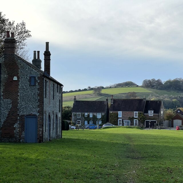
Image: © Ian Hawfinch Taken: 11 Nov 2023
The building on the left is the Wattle House. It dates from the end of the 1700s when it was used to store wattle hurdles for the sheep pens used during the annual sheep fair. [https://fancyfreewalks.org/W.Sussex/Findon.pdf]
Images are licensed for reuse under creativecommons.org/licenses/by-sa/2.0
Image Location
Latitude
50.86443
Longitude
-0.401917