Oving village
Introduction
The photograph on this page of Oving village by David Purchase as part of the Geograph project.
The Geograph project started in 2005 with the aim of publishing, organising and preserving representative images for every square kilometre of Great Britain, Ireland and the Isle of Man.

There are currently over 7.5m images from over 14,400 individuals and you can help contribute to the project by visiting https://www.geograph.org.uk
Oving village
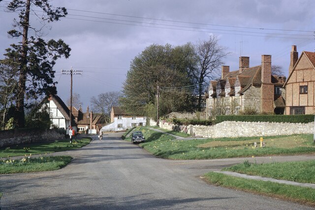
Image: © David Purchase Taken: 24 Apr 1966
Looking towards the centre of the village . The church is hidden, but can just be made out behind the trunk of the lone, bare tree. This is Church Lane, which continues sharply to the right in front of the house painted white and the church.
Images are licensed for reuse under creativecommons.org/licenses/by-sa/2.0
Image Location
Latitude
51.885145
Longitude
-0.865225