Peak Forest Canal at Marple
Introduction
The photograph on this page of Peak Forest Canal at Marple by Bill Boaden as part of the Geograph project.
The Geograph project started in 2005 with the aim of publishing, organising and preserving representative images for every square kilometre of Great Britain, Ireland and the Isle of Man.

There are currently over 7.5m images from over 14,400 individuals and you can help contribute to the project by visiting https://www.geograph.org.uk
Peak Forest Canal at Marple
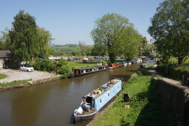
Image: © Bill Boaden Taken: 24 May 2023
This is at the top of the series of Marple Locks. Ahead is the valley of the River Goyt.
Images are licensed for reuse under creativecommons.org/licenses/by-sa/2.0
Image Location


Leaflet Map data © OpenStreetMap
Latitude
53.392421
Longitude
-2.059057