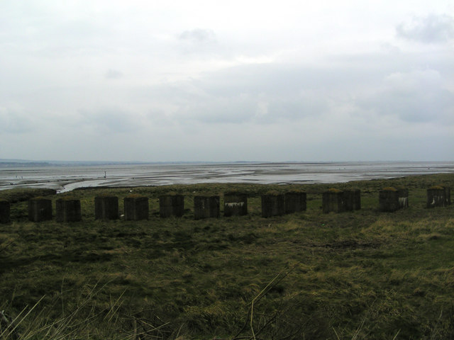
Looking out to Lucky Scalp
Introduction
The photograph on this page of Looking out to Lucky Scalp by Karen Vernon as part of the Geograph project.
The Geograph project started in 2005 with the aim of publishing, organising and preserving representative images for every square kilometre of Great Britain, Ireland and the Isle of Man.
There are currently over 7.5m images from over 14,400 individuals and you can help contribute to the project by visiting https://www.geograph.org.uk

Image: © Karen Vernon Taken: 12 Apr 2008
Just visible above the water line at centre right of the photo is the islet of Lucky Scalp. There are 5 of these islets along this section of coast (from east to west - Larick Scalp, White Scalp, Tony Scalp, Lucky Scalp and Green Scalp) It is believed that they were created by sailing ships dumping their stabilising ballast of gravel which they took on board after emptying their cargoes down river at Perth. For more info see http://www.sciencedirect.com/science?_ob=ArticleURL&_udi=B6WDV-45GWF31-26&_user=10&_rdoc=1&_fmt=&_orig=search&_sort=d&view=c&_acct=C000050221&_version=1&_urlVersion=0&_userid=10&md5=1414c04052f1e31caed16322e7e65084 Lucky Scalp is the only one of these islets which remains above the high spring tide mark.

