Navigation Road station
Introduction
The photograph on this page of Navigation Road station by Dr Neil Clifton as part of the Geograph project.
The Geograph project started in 2005 with the aim of publishing, organising and preserving representative images for every square kilometre of Great Britain, Ireland and the Isle of Man.

There are currently over 7.5m images from over 14,400 individuals and you can help contribute to the project by visiting https://www.geograph.org.uk
Navigation Road station
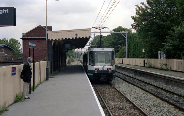
Image: © Dr Neil Clifton Taken: 11 Jul 1992
The Metrolink car is coming towards the camera. This station is worked as two separate single lines, the left hand one for up and down Metrolink, and the right hand one (not electrified) for up and down British Rail.
Images are licensed for reuse under creativecommons.org/licenses/by-sa/2.0
Image Location
Latitude
53.395806
Longitude
-2.343436