The Whyburn, Hucknall
Introduction
The photograph on this page of The Whyburn, Hucknall by Jonathan Thacker as part of the Geograph project.
The Geograph project started in 2005 with the aim of publishing, organising and preserving representative images for every square kilometre of Great Britain, Ireland and the Isle of Man.

There are currently over 7.5m images from over 14,400 individuals and you can help contribute to the project by visiting https://www.geograph.org.uk
The Whyburn, Hucknall
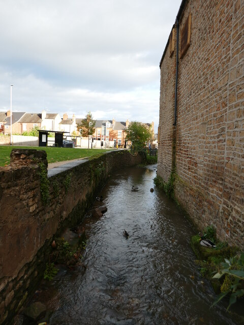
Image: © Jonathan Thacker Taken: 5 Nov 2023
A tributary of the River Leen. Seen from Baker Street.
Images are licensed for reuse under creativecommons.org/licenses/by-sa/2.0
Image Location
Latitude
53.039301
Longitude
-1.204294