St Day old church
Introduction
The photograph on this page of St Day old church by Rod Allday as part of the Geograph project.
The Geograph project started in 2005 with the aim of publishing, organising and preserving representative images for every square kilometre of Great Britain, Ireland and the Isle of Man.

There are currently over 7.5m images from over 14,400 individuals and you can help contribute to the project by visiting https://www.geograph.org.uk
St Day old church
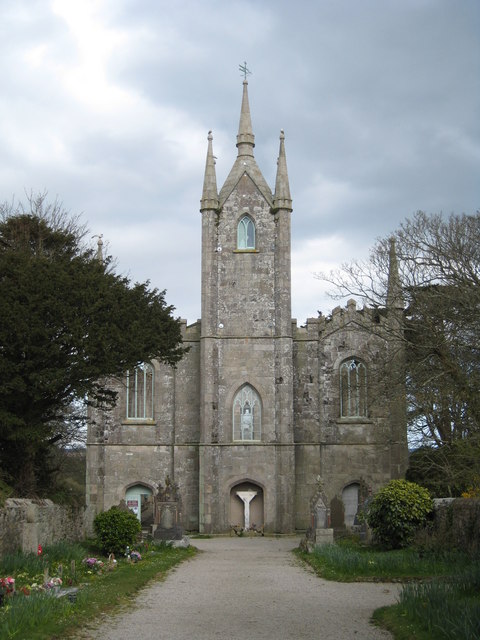
Image: © Rod Allday Taken: 15 Apr 2008
St Day nowadays is a pretty run-down village but the splendour of this (now derelict) church gives an indication of the town's great importance and wealth as a mining centre in the 18th & 19th centuries.
Images are licensed for reuse under creativecommons.org/licenses/by-sa/2.0
Image Location
Latitude
50.23725
Longitude
-5.182424