Garden of St Mary Staining
Introduction
The photograph on this page of Garden of St Mary Staining by Basher Eyre as part of the Geograph project.
The Geograph project started in 2005 with the aim of publishing, organising and preserving representative images for every square kilometre of Great Britain, Ireland and the Isle of Man.

There are currently over 7.5m images from over 14,400 individuals and you can help contribute to the project by visiting https://www.geograph.org.uk
Garden of St Mary Staining
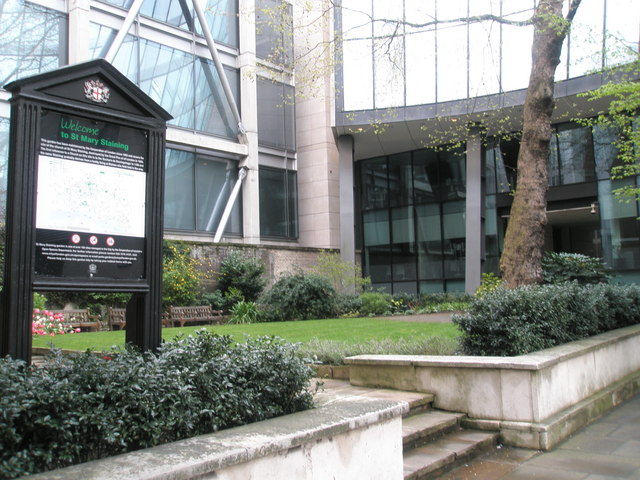
Image: © Basher Eyre Taken: 13 Apr 2008
Situated in Oat Lane this church was not rebuilt after the great Fire, and was united with St Michael Wood Street.
Images are licensed for reuse under creativecommons.org/licenses/by-sa/2.0
Image Location


Leaflet Map data © OpenStreetMap
Latitude
51.517027
Longitude
-0.094669