25 - 31 Holtye Road
Introduction
The photograph on this page of 25 - 31 Holtye Road by Ian Capper as part of the Geograph project.
The Geograph project started in 2005 with the aim of publishing, organising and preserving representative images for every square kilometre of Great Britain, Ireland and the Isle of Man.

There are currently over 7.5m images from over 14,400 individuals and you can help contribute to the project by visiting https://www.geograph.org.uk
25 - 31 Holtye Road
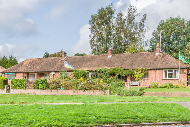
Image: © Ian Capper Taken: 26 Sep 2023
Terrace of bungalows on Holtye Road by its junction with Blackwell Farm Road, first marked on the 1957 1:2500 map.
Images are licensed for reuse under creativecommons.org/licenses/by-sa/2.0
Image Location
Latitude
51.131671
Longitude
-0.003276