Cyrraedd De Corneli / Entering South Cornelly
Introduction
The photograph on this page of Cyrraedd De Corneli / Entering South Cornelly by Alan Richards as part of the Geograph project.
The Geograph project started in 2005 with the aim of publishing, organising and preserving representative images for every square kilometre of Great Britain, Ireland and the Isle of Man.

There are currently over 7.5m images from over 14,400 individuals and you can help contribute to the project by visiting https://www.geograph.org.uk
Cyrraedd De Corneli / Entering South Cornelly
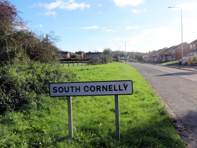
Image: © Alan Richards Taken: 3 Nov 2023
Heol yn cyrraedd pentref De Corneli. Cyn y ffordd osgoi dyma oedd y brif heol i Borthcawl. A road entering the village of South Cornelly. Prior to the by-pass this was the main road to Porthcawl (trans. sea-kale harbour).
Images are licensed for reuse under creativecommons.org/licenses/by-sa/2.0
Image Location
Latitude
51.512572
Longitude
-3.703428