Former Methodist Church, New Herrington
Introduction
The photograph on this page of Former Methodist Church, New Herrington by Robert Graham as part of the Geograph project.
The Geograph project started in 2005 with the aim of publishing, organising and preserving representative images for every square kilometre of Great Britain, Ireland and the Isle of Man.

There are currently over 7.5m images from over 14,400 individuals and you can help contribute to the project by visiting https://www.geograph.org.uk
Former Methodist Church, New Herrington
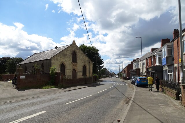
Image: © Robert Graham Taken: 15 Aug 2023
This was built in the late 19th century as the Christian Lay Church originally, but is now closed. It is on the B1286, the main road through the village.
Images are licensed for reuse under creativecommons.org/licenses/by-sa/2.0
Image Location
Latitude
54.868239
Longitude
-1.481736