Nancegollan
Introduction
The photograph on this page of Nancegollan by David Dixon as part of the Geograph project.
The Geograph project started in 2005 with the aim of publishing, organising and preserving representative images for every square kilometre of Great Britain, Ireland and the Isle of Man.

There are currently over 7.5m images from over 14,400 individuals and you can help contribute to the project by visiting https://www.geograph.org.uk
Nancegollan
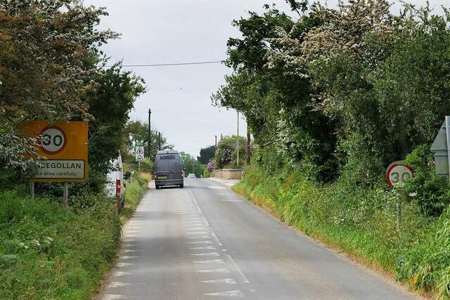
Image: © David Dixon Taken: 6 Jun 2023
Nancegollan (Cornish: Nansigolen) is a village on the B3303 road between Camborne and Helston.
Images are licensed for reuse under creativecommons.org/licenses/by-sa/2.0
Image Location
Latitude
50.144333
Longitude
-5.307418