View of Lampton Street, New Herrington
Introduction
The photograph on this page of View of Lampton Street, New Herrington by Robert Graham as part of the Geograph project.
The Geograph project started in 2005 with the aim of publishing, organising and preserving representative images for every square kilometre of Great Britain, Ireland and the Isle of Man.

There are currently over 7.5m images from over 14,400 individuals and you can help contribute to the project by visiting https://www.geograph.org.uk
View of Lampton Street, New Herrington
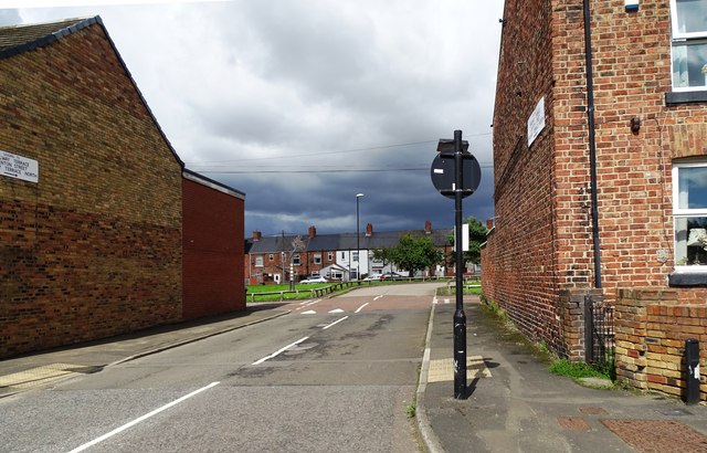
Image: © Robert Graham Taken: 15 Aug 2023
Looking from the B1286, the main road through the village. This street, and the others listed on the sign on the gable end at the left, were built in the late 19th century as the village expanded to house the miners in the local colliery.
Images are licensed for reuse under creativecommons.org/licenses/by-sa/2.0
Image Location
Latitude
54.869922
Longitude
-1.475949