St Aidan's Road looking west
Introduction
The photograph on this page of St Aidan's Road looking west by Robert Graham as part of the Geograph project.
The Geograph project started in 2005 with the aim of publishing, organising and preserving representative images for every square kilometre of Great Britain, Ireland and the Isle of Man.

There are currently over 7.5m images from over 14,400 individuals and you can help contribute to the project by visiting https://www.geograph.org.uk
St Aidan's Road looking west
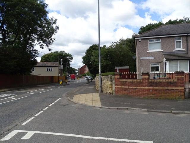
Image: © Robert Graham Taken: 15 Aug 2023
This is the B1286, the main road through this former mining village. Fletcher Crescent on the right runs parallel to the main road on the north. It was probably built as council housing for the miners after WWII, or possibly a bit earlier.
Images are licensed for reuse under creativecommons.org/licenses/by-sa/2.0
Image Location
Latitude
54.869361
Longitude
-1.47097