Field near Logie House
Introduction
The photograph on this page of Field near Logie House by Richard Webb as part of the Geograph project.
The Geograph project started in 2005 with the aim of publishing, organising and preserving representative images for every square kilometre of Great Britain, Ireland and the Isle of Man.

There are currently over 7.5m images from over 14,400 individuals and you can help contribute to the project by visiting https://www.geograph.org.uk
Field near Logie House
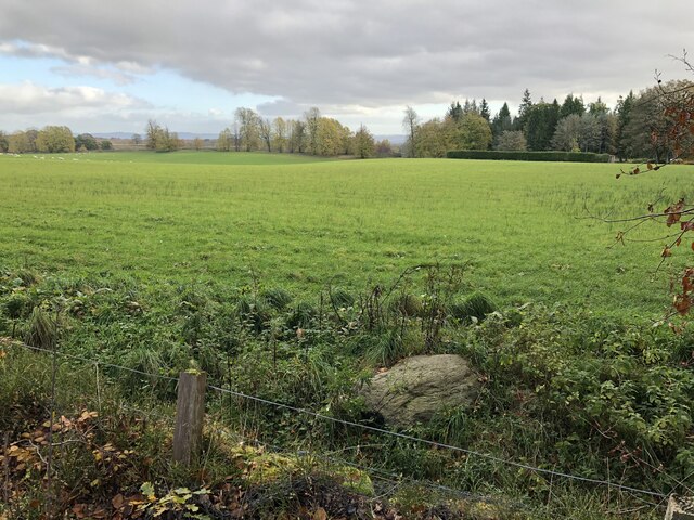
Image: © Richard Webb Taken: 31 Oct 2023
Flattish land some 50m above the level of the River Almond. The steep slopes start with the trees in the background.
Images are licensed for reuse under creativecommons.org/licenses/by-sa/2.0
Image Location
Latitude
56.451461
Longitude
-3.600789