Bridge over the Laver
Introduction
The photograph on this page of Bridge over the Laver by Gordon Hatton as part of the Geograph project.
The Geograph project started in 2005 with the aim of publishing, organising and preserving representative images for every square kilometre of Great Britain, Ireland and the Isle of Man.

There are currently over 7.5m images from over 14,400 individuals and you can help contribute to the project by visiting https://www.geograph.org.uk
Bridge over the Laver
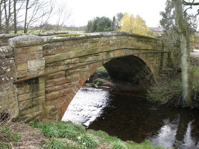
Image: © Gordon Hatton Taken: 14 Apr 2008
A sandstone bridge carrying a road over the River Laver in Laverton. Two inscribed stones show that the bridge was rebuilt in 1923. The Laver is the main tributary of the Skell, the two small rivers uniting on the edge of Ripon before joining the Ure.
Images are licensed for reuse under creativecommons.org/licenses/by-sa/2.0
Image Location


Leaflet Map data © OpenStreetMap
Latitude
54.154745
Longitude
-1.652381