Llwybr glanmor/ Sea shore path
Introduction
The photograph on this page of Llwybr glanmor/ Sea shore path by Alan Richards as part of the Geograph project.
The Geograph project started in 2005 with the aim of publishing, organising and preserving representative images for every square kilometre of Great Britain, Ireland and the Isle of Man.

There are currently over 7.5m images from over 14,400 individuals and you can help contribute to the project by visiting https://www.geograph.org.uk
Llwybr glanmor/ Sea shore path
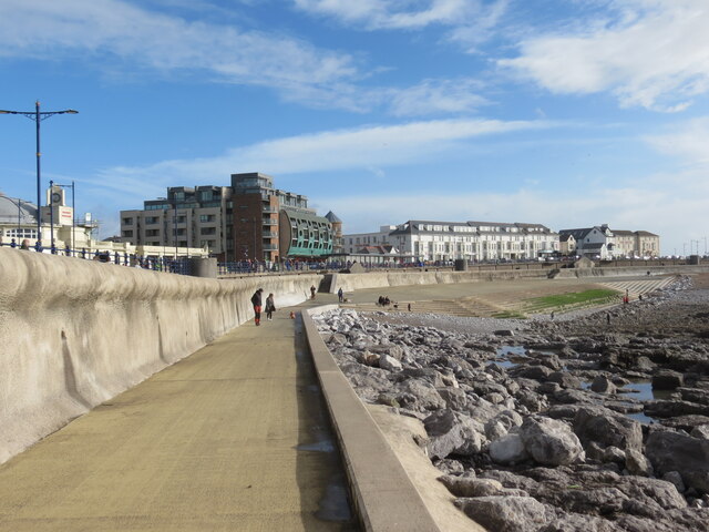
Image: © Alan Richards Taken: 29 Oct 2023
Llwybr concrid ar lan y môr creigiog ym Mhorthcawl. Concrete path on the rocky sea shore at Porthcawl (trans. sea kale harbour).
Images are licensed for reuse under creativecommons.org/licenses/by-sa/2.0
Image Location
Latitude
51.476197
Longitude
-3.706536