Rivar Down
Introduction
The photograph on this page of Rivar Down by Andrew Smith as part of the Geograph project.
The Geograph project started in 2005 with the aim of publishing, organising and preserving representative images for every square kilometre of Great Britain, Ireland and the Isle of Man.

There are currently over 7.5m images from over 14,400 individuals and you can help contribute to the project by visiting https://www.geograph.org.uk
Rivar Down
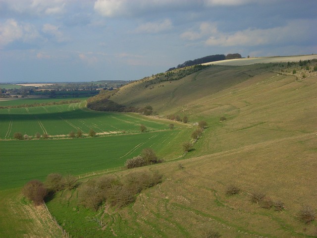
Image: © Andrew Smith Taken: 5 Apr 2008
Looking along the scarp from the Oxenwood to Bedwyn road. Cereal crops occupy the arable land below. The bottom half of the picture, roughly speaking, is within this grid-square.
Images are licensed for reuse under creativecommons.org/licenses/by-sa/2.0
Image Location


Leaflet Map data © OpenStreetMap
Latitude
51.343703
Longitude
-1.572108