Path over Clifton Backies
Introduction
The photograph on this page of Path over Clifton Backies by DS Pugh as part of the Geograph project.
The Geograph project started in 2005 with the aim of publishing, organising and preserving representative images for every square kilometre of Great Britain, Ireland and the Isle of Man.

There are currently over 7.5m images from over 14,400 individuals and you can help contribute to the project by visiting https://www.geograph.org.uk
Path over Clifton Backies
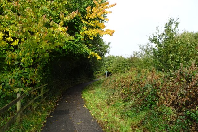
Image: © DS Pugh Taken: 25 Oct 2023
Looking along the cycle path between Sutton Lane and Woodland Chase.
Images are licensed for reuse under creativecommons.org/licenses/by-sa/2.0
Image Location
Latitude
53.980071
Longitude
-1.092702