Haylage transport
Introduction
The photograph on this page of Haylage transport by Tim Heaton as part of the Geograph project.
The Geograph project started in 2005 with the aim of publishing, organising and preserving representative images for every square kilometre of Great Britain, Ireland and the Isle of Man.

There are currently over 7.5m images from over 14,400 individuals and you can help contribute to the project by visiting https://www.geograph.org.uk
Haylage transport
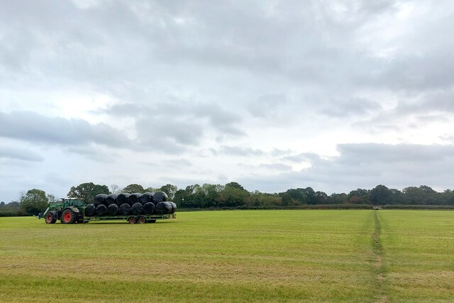
Image: © Tim Heaton Taken: 11 Oct 2023
The small section of the Test way through this field is not marked as right of way on the OS map.
Images are licensed for reuse under creativecommons.org/licenses/by-sa/2.0
Image Location
Latitude
51.003289
Longitude
-1.531492