Stone Stile, Farmington
Introduction
The photograph on this page of Stone Stile, Farmington by Jayne Tovey as part of the Geograph project.
The Geograph project started in 2005 with the aim of publishing, organising and preserving representative images for every square kilometre of Great Britain, Ireland and the Isle of Man.

There are currently over 7.5m images from over 14,400 individuals and you can help contribute to the project by visiting https://www.geograph.org.uk
Stone Stile, Farmington
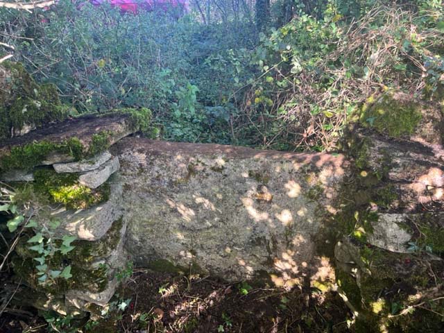
Image: © Jayne Tovey Taken: 24 Oct 2023
Off the A429 on Gloucestershire footpath KNE/4 (which approaches from the N-NE). This view looks NW to the road, the view back is Image The benchmark indicates that the stile is 191.1m Above Sea Level.
Images are licensed for reuse under creativecommons.org/licenses/by-sa/2.0
Image Location
Latitude
51.846409
Longitude
-1.823912