The Stackyard in West Herrington
Introduction
The photograph on this page of The Stackyard in West Herrington by Robert Graham as part of the Geograph project.
The Geograph project started in 2005 with the aim of publishing, organising and preserving representative images for every square kilometre of Great Britain, Ireland and the Isle of Man.

There are currently over 7.5m images from over 14,400 individuals and you can help contribute to the project by visiting https://www.geograph.org.uk
The Stackyard in West Herrington
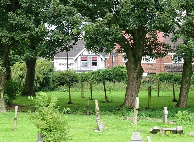
Image: © Robert Graham Taken: 15 Aug 2023
Village pub and restaurant viewed from the B1286, across St Cuthbert's graveyard. The church itself does not survive. It would have been directly in the line of sight here.
Images are licensed for reuse under creativecommons.org/licenses/by-sa/2.0
Image Location
Latitude
54.871914
Longitude
-1.458938