
Footpath sign on A35 at Poundbury
Introduction
The photograph on this page of Footpath sign on A35 at Poundbury by Derek Harper as part of the Geograph project.
The Geograph project started in 2005 with the aim of publishing, organising and preserving representative images for every square kilometre of Great Britain, Ireland and the Isle of Man.

There are currently over 7.5m images from over 14,400 individuals and you can help contribute to the project by visiting https://www.geograph.org.uk
Footpath sign on A35 at Poundbury
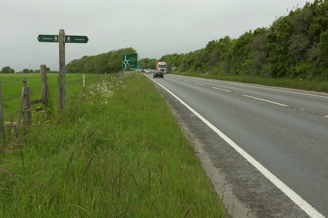
Image: © Derek Harper Taken: 25 May 2022
This is probably Dorset's busiest main road, but where a footpath crosses it there is not even any sort of pedestrian refuge. After a steep and very awkward descent on footpath S2 51, it was daunting to face crossing an A road with fast traffic in both directions. The path to the left, S57 6, is supposed to cross Fordington Field in a straightish line to meet the road to Martinstown at an appropriate bend. However, the farmer has failed to provide a route through their crop, requiring a detour along tramlines, This is not developing into a good walk. The A35 is approaching the Monkey's Jump roundabout.
Images are licensed for reuse under creativecommons.org/licenses/by-sa/2.0
Image Location

Latitude
50.710667
Longitude
-2.469306