Mitton, Tewkesbury
Introduction
The photograph on this page of Mitton, Tewkesbury by Philip Halling as part of the Geograph project.
The Geograph project started in 2005 with the aim of publishing, organising and preserving representative images for every square kilometre of Great Britain, Ireland and the Isle of Man.

There are currently over 7.5m images from over 14,400 individuals and you can help contribute to the project by visiting https://www.geograph.org.uk
Mitton, Tewkesbury
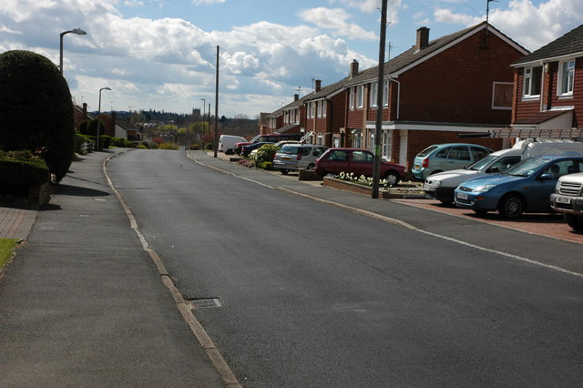
Image: © Philip Halling Taken: 12 Apr 2008
Mitton housing estate was built in the 1960s along side the Bredon Road to the north-east of Tewkesbury. The tower of Tewkesbury Abbey can be seen in the distance.
Images are licensed for reuse under creativecommons.org/licenses/by-sa/2.0
Image Location
Latitude
52.002102
Longitude
-2.143145