#33 Carlisle Road on west side of B723
Introduction
The photograph on this page of #33 Carlisle Road on west side of B723 by Roger Templeman as part of the Geograph project.
The Geograph project started in 2005 with the aim of publishing, organising and preserving representative images for every square kilometre of Great Britain, Ireland and the Isle of Man.

There are currently over 7.5m images from over 14,400 individuals and you can help contribute to the project by visiting https://www.geograph.org.uk
#33 Carlisle Road on west side of B723
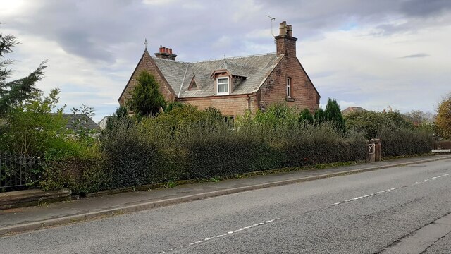
Image: © Roger Templeman Taken: 24 Oct 2023
There is an Ordnance Survey benchmark Image on top of the road end of the boundary wall between the house and Somerton House Hotel (near left hand edge of this image)
Images are licensed for reuse under creativecommons.org/licenses/by-sa/2.0
Image Location


Leaflet Map data © OpenStreetMap
Latitude
55.112786
Longitude
-3.35538