Field beside Deer Park Lane
Introduction
The photograph on this page of Field beside Deer Park Lane by Derek Harper as part of the Geograph project.
The Geograph project started in 2005 with the aim of publishing, organising and preserving representative images for every square kilometre of Great Britain, Ireland and the Isle of Man.

There are currently over 7.5m images from over 14,400 individuals and you can help contribute to the project by visiting https://www.geograph.org.uk
Field beside Deer Park Lane
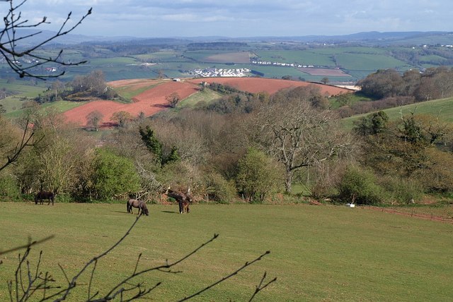
Image: © Derek Harper Taken: 10 Apr 2008
Horses graze in an irregularly-shaped field on the hillside north of the green (muddy) lane. The view beyond is across Haccombe and the round hill with the ploughed fields to the far side of the Teign estuary, with Wear Farm caravan site prominent.
Images are licensed for reuse under creativecommons.org/licenses/by-sa/2.0
Image Location


Leaflet Map data © OpenStreetMap
Latitude
50.512523
Longitude
-3.550663