View east along Herrington Road
Introduction
The photograph on this page of View east along Herrington Road by Robert Graham as part of the Geograph project.
The Geograph project started in 2005 with the aim of publishing, organising and preserving representative images for every square kilometre of Great Britain, Ireland and the Isle of Man.

There are currently over 7.5m images from over 14,400 individuals and you can help contribute to the project by visiting https://www.geograph.org.uk
View east along Herrington Road
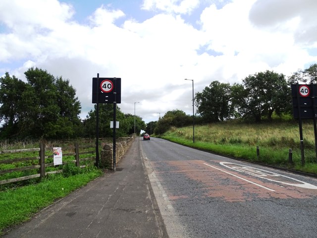
Image: © Robert Graham Taken: 15 Aug 2023
The B1286 at West Herrington. This is the east end of the village. The road carries on over the A19 to East Herrington.
Images are licensed for reuse under creativecommons.org/licenses/by-sa/2.0
Image Location
Latitude
54.870566
Longitude
-1.458956