The Stables, West Herrington
Introduction
The photograph on this page of The Stables, West Herrington by Robert Graham as part of the Geograph project.
The Geograph project started in 2005 with the aim of publishing, organising and preserving representative images for every square kilometre of Great Britain, Ireland and the Isle of Man.

There are currently over 7.5m images from over 14,400 individuals and you can help contribute to the project by visiting https://www.geograph.org.uk
The Stables, West Herrington
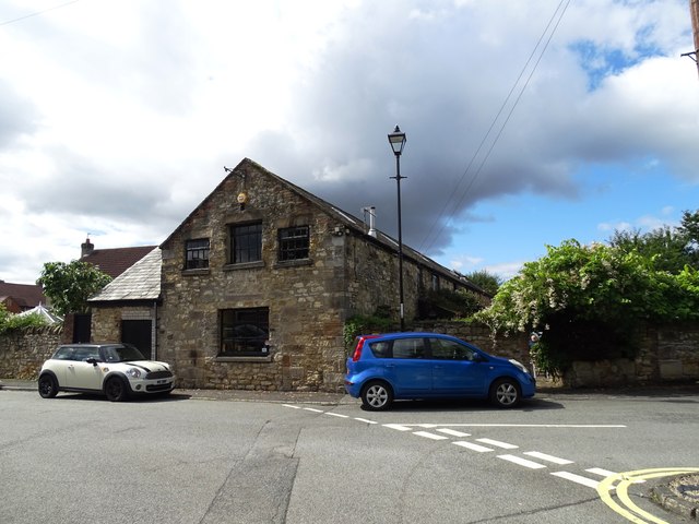
Image: © Robert Graham Taken: 15 Aug 2023
This used to be a pub, but it doesn't look as if it is at the moment. It is obviously a converted agricultural building of the 19th century and was presumably part of the establishment of West Herrington Hall which stood nearby. The old village is now gone, replaced by a modern housing estate. This seems to be the only survivor.
Images are licensed for reuse under creativecommons.org/licenses/by-sa/2.0
Image Location
Latitude
54.871292
Longitude
-1.460504