The Cumbria Way, Elm Street
Introduction
The photograph on this page of The Cumbria Way, Elm Street by Adrian Taylor as part of the Geograph project.
The Geograph project started in 2005 with the aim of publishing, organising and preserving representative images for every square kilometre of Great Britain, Ireland and the Isle of Man.

There are currently over 7.5m images from over 14,400 individuals and you can help contribute to the project by visiting https://www.geograph.org.uk
The Cumbria Way, Elm Street
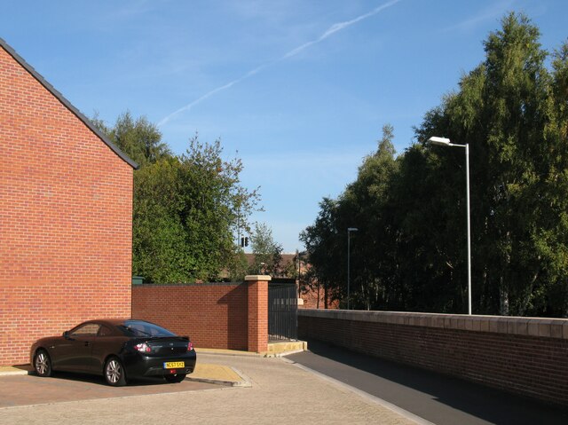
Image: © Adrian Taylor Taken: 28 Sep 2013
The route of the Caldew Cycleway and The Cumbria Way follow the flood defence wall near the end of Elm Street, to enter the narrow path to the right of the black metal railings (next photograph Image). This section of the Caldew Cycleway is also known as the Caldew Riverside Trail.
Images are licensed for reuse under creativecommons.org/licenses/by-sa/2.0
Image Location
Latitude
54.889218
Longitude
-2.937181